746 éléments
Laurent SALOMON / Naturimages
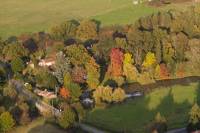
12LSL00239
Photo aérienne de la petite Maine en automne entre Saint Georges de Montaigu et Chavagnes en Paillers
Photo aérienne de la petite Maine en automne entre Saint Georges de Montaigu et Chavagnes en Paillers
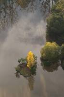
12LSL00238
Photo aérienne d'un peuplier au mileu d'un étang en automne
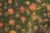
12LSL00237
Photo aérienne d'un verger en automne
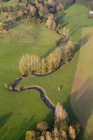
12LSL00236
Photo aérienne de la Petite Maine en automne
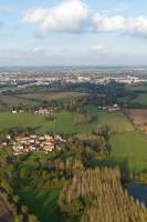
12LSL00235
Photo aérienne du bocage Vendée
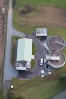
12LSL00234
Photo aérienne de la station d'épuration de Chavagnes en Paillers
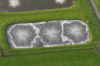
12LSL00233
Photo aérienne de bassin de traitement d'effluents industriels
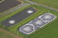
12LSL00232
Photo aérienne de bassin de traitement d'effluents industriels
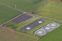
12LSL00231
Photo aérienne de bassin de traitement d'effluents industriels
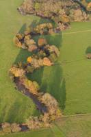
12LSL00230
Photo aérienne de la Petite Maine en automne
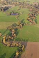
12LSL00229
Photo aérienne de la Petite Maine en automne
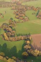
12LSL00228
Photo aérienne de la Petite Maine en automne
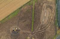
12LSL00227
Photo aérienne de vaches se nourissant
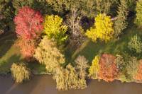
12LSL00226
Photo aérienne de la petite Maine en automne entre Saint Georges de Montaigu et Chavagnes en Paillers
Photo aérienne de la petite Maine en automne entre Saint Georges de Montaigu et Chavagnes en Paillers
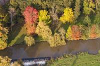
12LSL00225
Photo aérienne de la petite Maine en automne entre Saint Georges de Montaigu et Chavagnes en Paillers
Photo aérienne de la petite Maine en automne entre Saint Georges de Montaigu et Chavagnes en Paillers
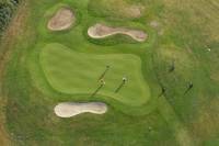
12LSL00221
Photo aérienne du terrain de golf de Rhuys
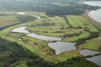
12LSL00220
Photo aérienne du terrain de golf de Rhuys
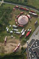
12LSL00219
Photo aérienne d'un cirque
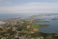
12LSL00218
Photo aérienne de l'entrée du Golfe du Morbihan et de l'extrémité de la Presqu'île de Rhuys
Photo aérienne de l'entrée du Golfe du Morbihan et de l'extrémité de la Presqu'île de Rhuys
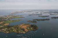
12LSL00217
Photo aérienne de l'entrée du Golfe du Morbihan
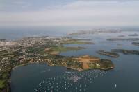
12LSL00216
Photo arienne de l'extrémié de la Presqu'île de Rhuys, anse de Kerners
Photo arienne de l'extrémié de la Presqu'île de Rhuys, anse de Kerners
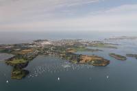
12LSL00215
Photo arienne de l'extrémié de la Presqu'île de Rhuys, anse de Kerners
Photo arienne de l'extrémié de la Presqu'île de Rhuys, anse de Kerners
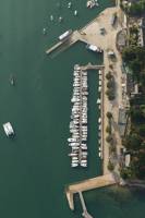
12LSL00214
Photo aérienne de port blanc - Golfe du Morbihan
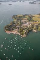
12LSL00213
Photo aérienne de port blanc - Golfe du Morbihan
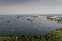
12LSL00212
Photo aérienne de la baie d'Arradon, Golfe du Morbihan
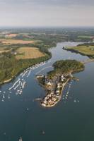
12LSL00211
Photo aérienne de la presqu'île de Conleau - Vannes
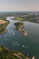
12LSL00210
Photo aérienne de la presqu'île de Conleau - Vannes
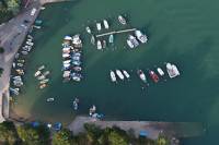
12LSL00209
Photo aérienne de Port-Anna
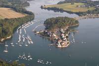
12LSL00208
Photo aérienne de la presqu'île de Conleau - Vannes
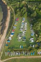
12LSL00207
Photo aérienne centre nautique sur la point de Bill
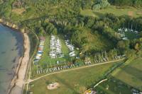
12LSL00206
Photo aérienne centre nautique sur la point de Bill
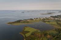
12LSL00205
Photo aérienne de la point de bill - commune de Séné
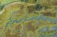
12LSL00204
Photo aérienne de chenaux dans des anciens marais salants
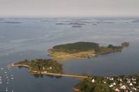
12LSL00203
Photo aérienne de la Presqu'île de la Villeneuve
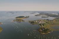
12LSL00202
Photo aérienne du Passage dans le Golfe du Morbihan
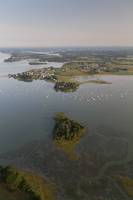
12LSL00201
Photo aérienne du Passage dans le golfe du Morbihan
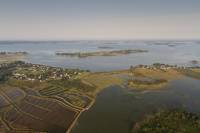
12LSL00200
Photo aérienne du Passage et de l'ile de Truscat
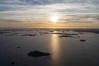
12LSL00199
Photo aérienne du golfe du Morbihan.
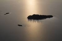
12LSL00198
Photo aérienne du golfe du Morbihan.
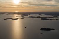
12LSL00197
Photo aérienne du golfe du Morbihan
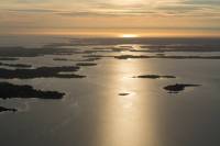
12LSL00196
Photo aérienne du golfe du Morbihan.
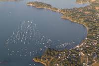
12LSL00195
Photo aérienne du port du Logeo.
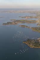
12LSL00194
Photo aérienne de la côte nord de la Presqu'île de Rhuys
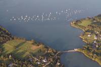
12LSL00193
Photo aérienne du moulin de Pen Castel - Golfe du Morbihan
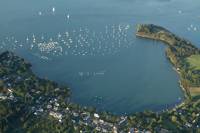
12LSL00192
Photo aérienne de l'anse de Kerners
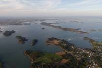
12LSL00191
Photo aérienne du Golfe du Morbihan et de l'ïle au Moines
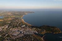
12LSL00190
Photo aérienne du port du Crouesty et de lapresqu'île de Rhuys
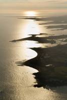
12LSL00189
Photo aérienne de la côte de Locmariaquer
12LSL00188
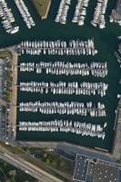
Photo aérienne du port du Crouesty
12LSL00187
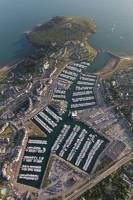
Photo aérienne du port du Crouesty
